Casting around for what to do, and bearing in mind D's suggestion that we could walk between sleeps, I found Lakeland Three Passes Walk: A circular walk through Borrowdale, Langdale and Wasdale in the Lake District National Park. We followed mostly their route, except we started up Bowfell not via Angle tarn; and we came down via Stickle tarn not Langdale pikes.
Card game of the trip: Big Two (though not quite those rules). Winner: D.
Flickr picture set: 2018-04-lakes.
Thursday
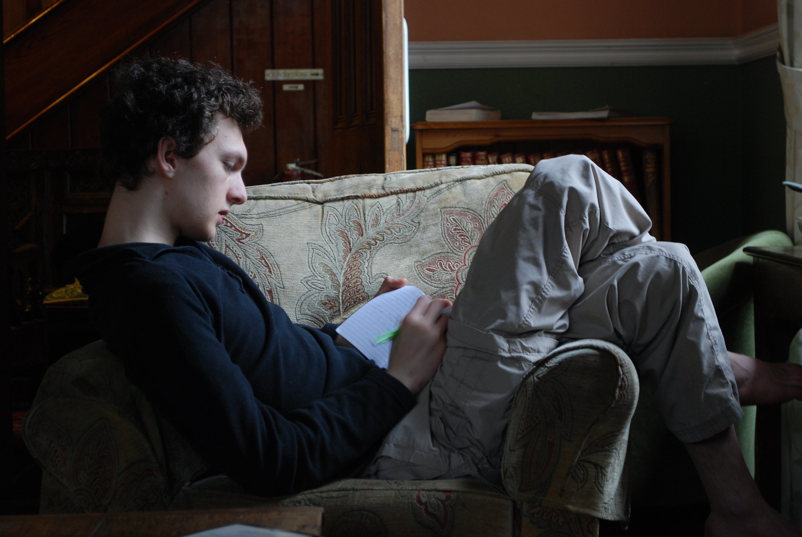
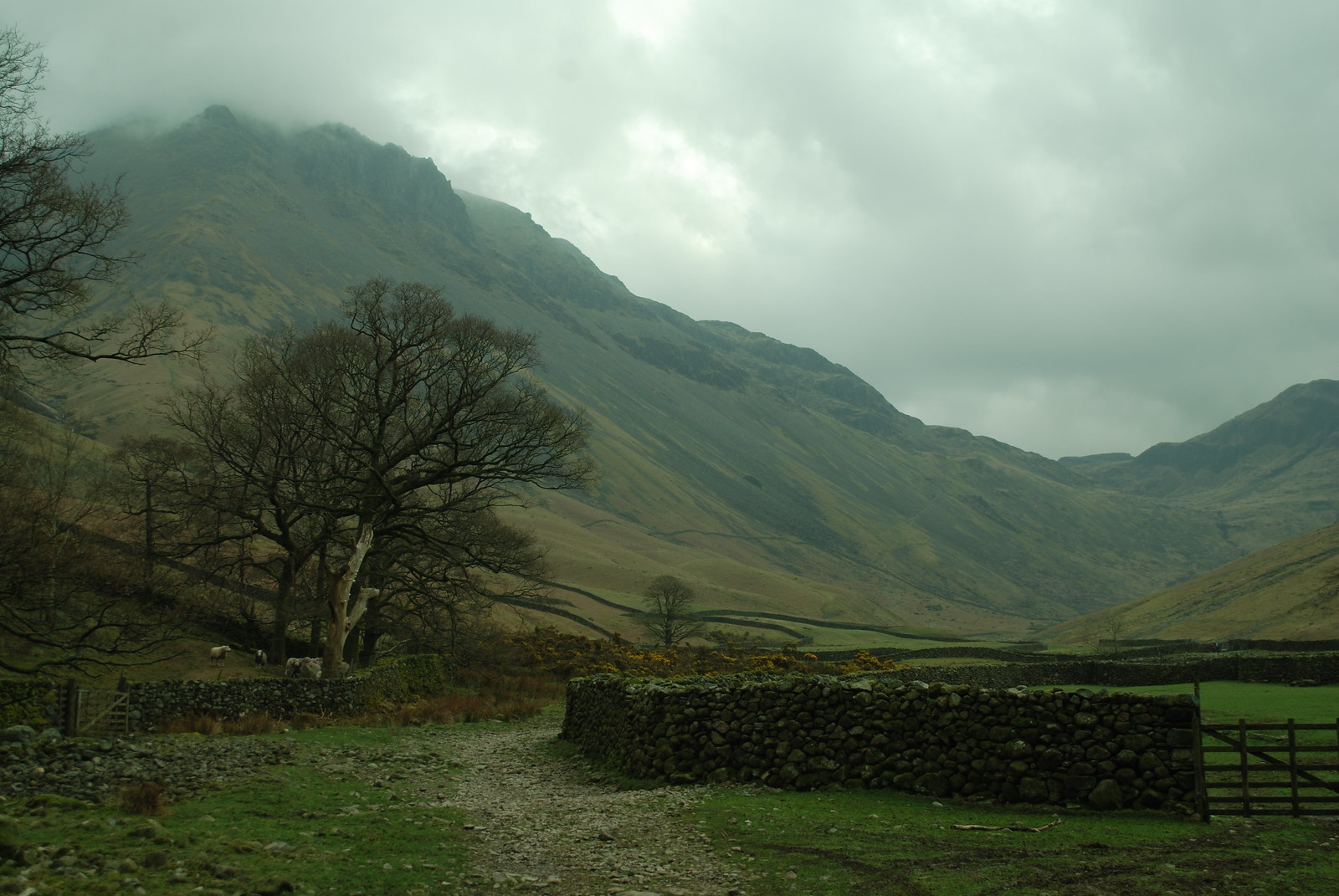
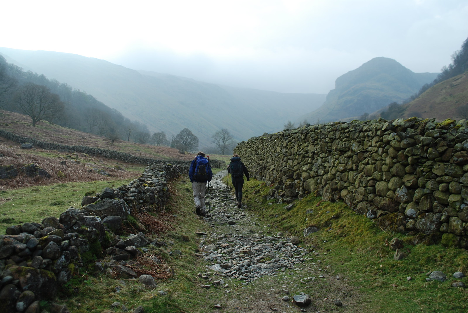
On Thursday we packed up in a not-too-desperate rush, left the house just before 10, then went via work because I'd carelessly left my watch charger there (despite having a spare, somewhere) and headed up North. With no particular hurry we stopped twice en route and arrived around half four, at the Old Dungeon Ghyll. This is a famous climbing Name from the past - though I think I've only been to Langdale once in the Olde Dayes, to Gimmer, where I lead the Kipling Groove (it's Ruddy 'ard, especially if you forget to unclip from the peg you're resting off before the crux and get pulled back onto it...) with I think Wiz Pasteur as was. One to point D at next time. Not for us the campsite, we had a room, and this worked out rather well as we had a comfy time in the resident's lounge, dinner in the bar, and for me a beer as well. Here's D, cogitating; the light was good.
Friday: Old Dungeon Ghyll to Wasdale via Bowfell, Esk Pike, Great End and Scafell Pike
Wx: cloudy. GPS trace: 18 km, 1200 m ascent, 7:40. After as much of a full breakfast as we could eat - mostly toast and cereal, and an egg for me - we headed up around 9:30. The Wx was predicted cloudy and so it was. Instead of the Mickleden valley, which E and I had taken in fierce winds in February, we took the ridge here up to Bowfell, past the amusingly named Stool End farm. We left the axes and crampons in the car, since they clearly weren't going to be of any use, and the ODG was happy for us to leave the car.
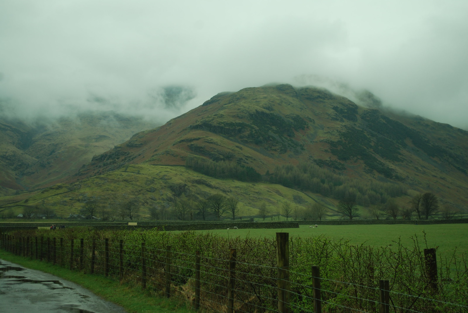
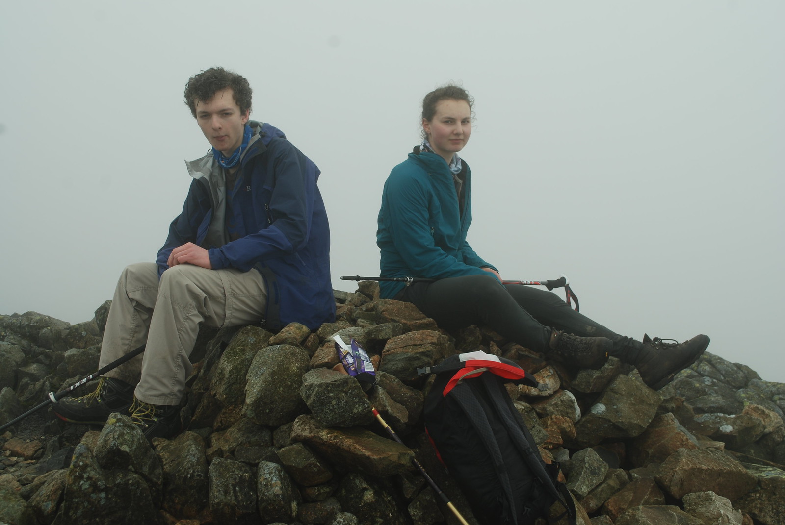
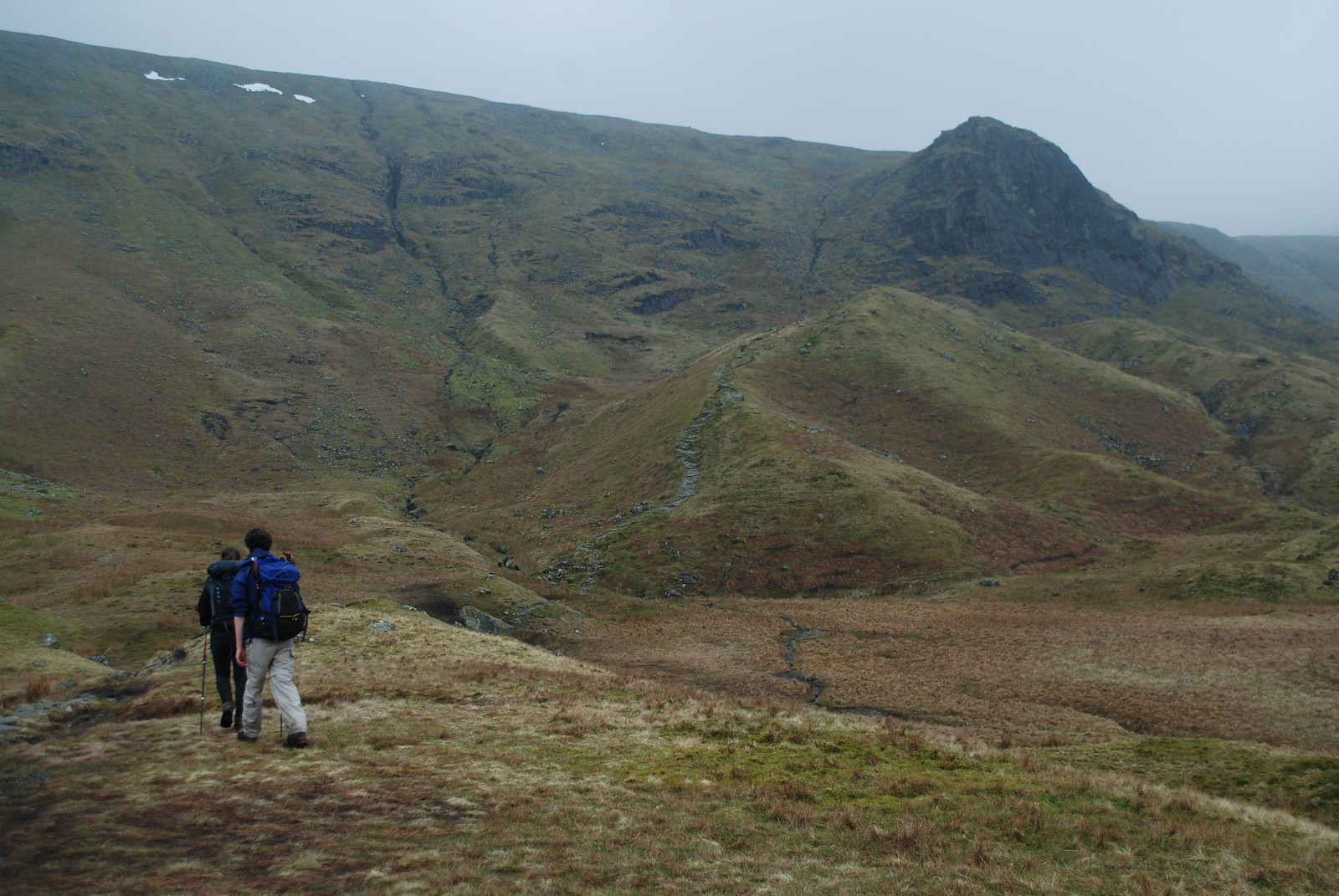
If you care about the exact times we got to places you can check the GPS trace. Suffice to say that we walked near continuously, because once we got above 600 m we were in a cloud, as this pic suggests, and didn't see anything more than 10 m away from us all day. On the far side, descending into Wasdale, the cloud was even lower. But! We had fun, had the energy to keep going with brief rests on the summits before we got too cold, and didn't get lost; we even found Great End after Esk Pike. Here we see D and E on top of... well, something; possibly Great End but maybe not.
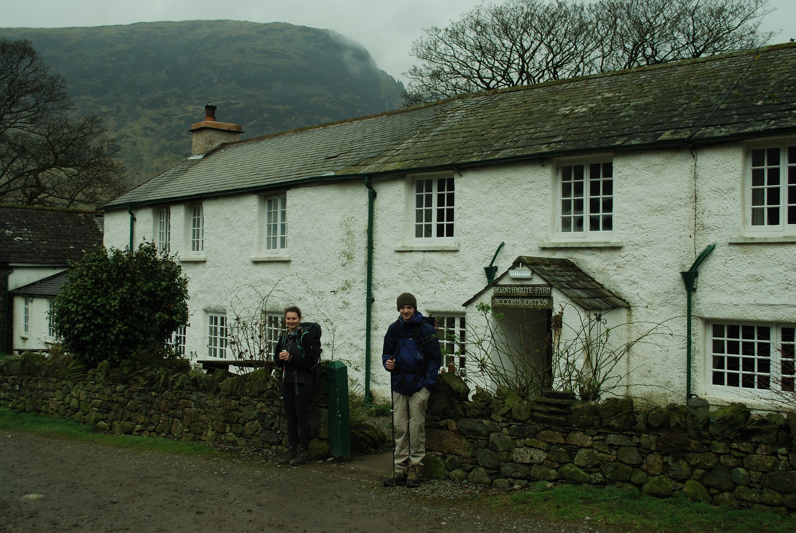
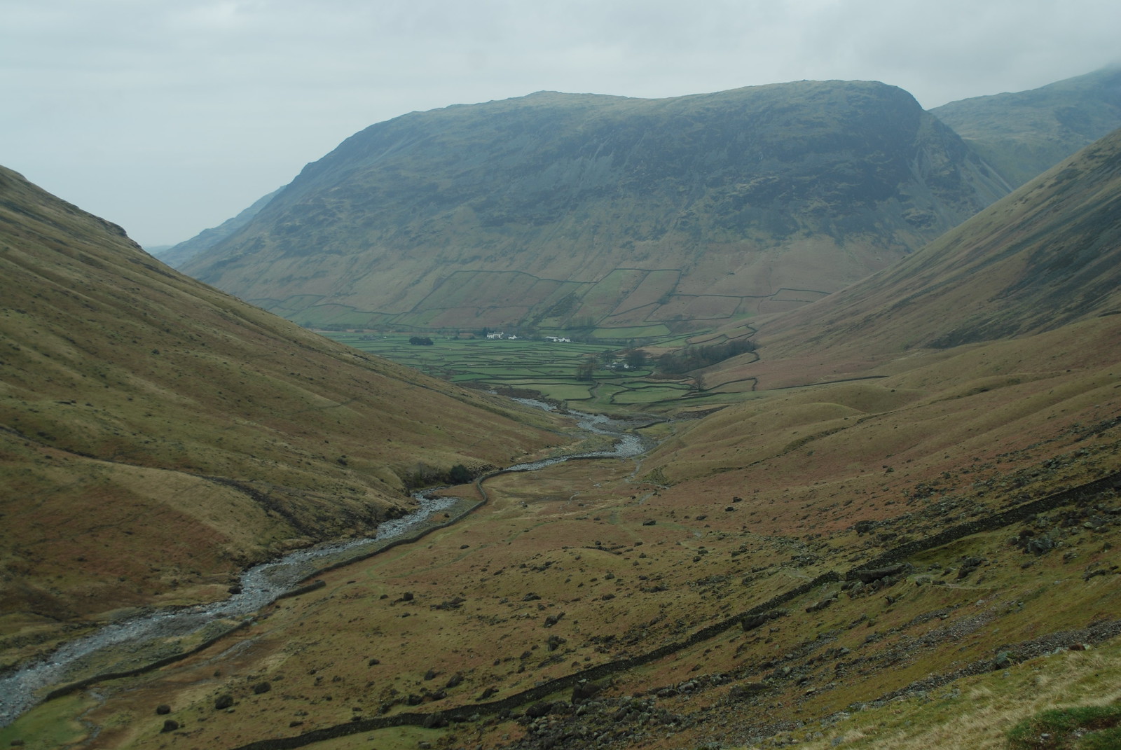
When I say we didn't get lost, I did miss the Mickledore descent off Scafell Pike, so we came down the "boring" route, but in that weather we saw nothing so it hardly mattered. Wast water lowered between hills and cloud, and we found our B+B Burnthwaite farm, which was good and friendly, though unfortunately most of a km walk back into the village for beer and food in the evening in the Wasdale Head Inn, which helpfully has the word "Inn" on it in big letters.
Saturday: Wasdale head to Rosthwaite via Great Gable and Brandreth
Wx: decent. GPS trace; 7:10, 15 km, 900 m. Today was predicted to be our best weather day; early morning wasn't promising with cloud to ~700 m, but over breakfast - which we didn't hurry, since the Wx was due to get better during the day - it started to hint at breaks; by the time we got up Great Gable it was clear, and as the afternoon progressed it became lovely. Here is the B+B, with guardians.
And then, the day in pictures. Up the valley of the Lingmell Beck, with Great Gable still cloud-shrouded on the left.
From higher up, a view back to Wasdale Head under Yewbarrow.
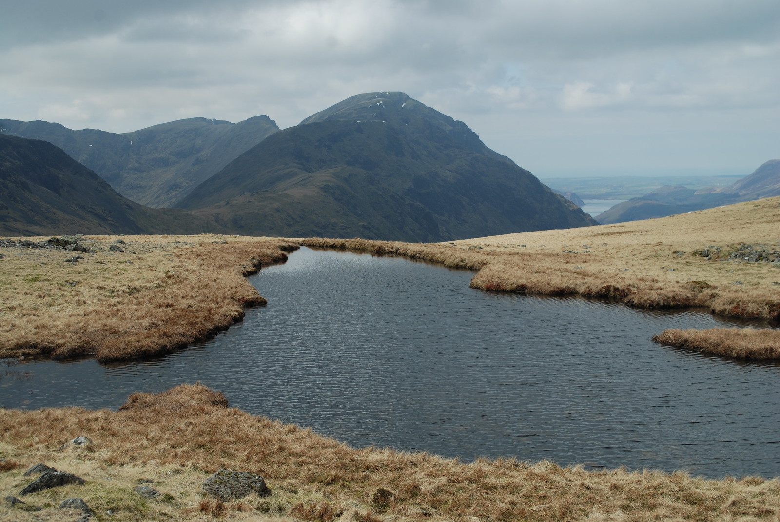
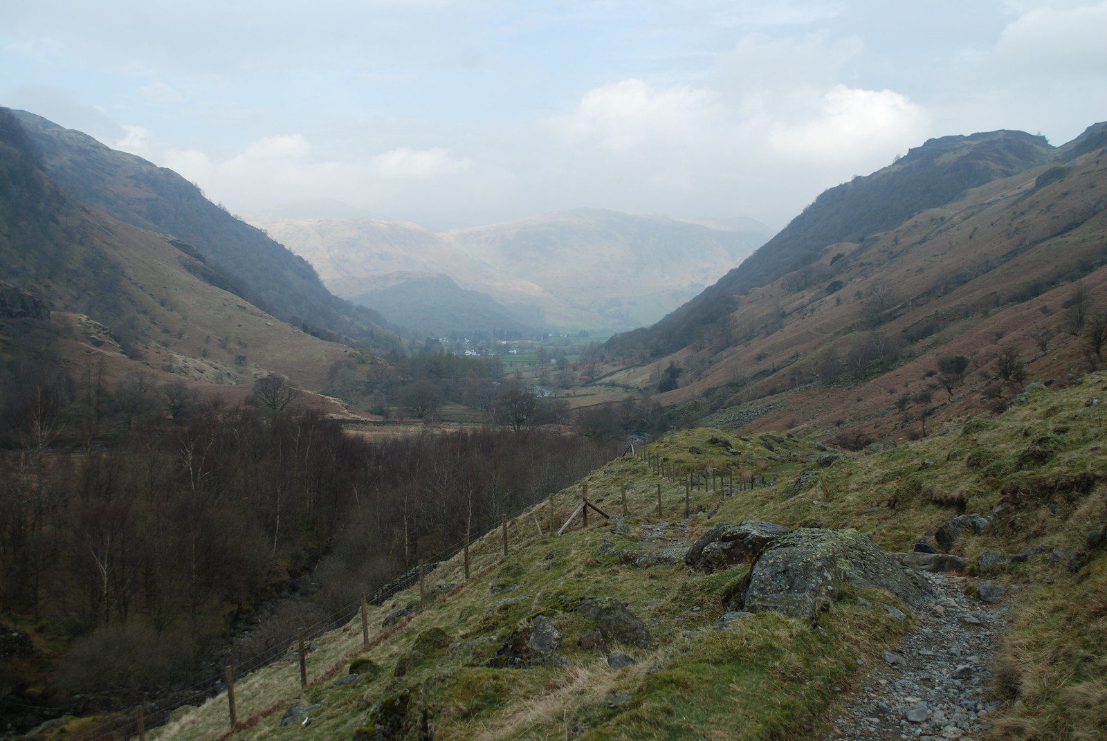
At Great Gable - drawing a discrete veil of D's vomit on the climb up - we rest for half an hour and admire the scenery, and enjoy views of the Scafell group that we couldn't see yesterday. From there we drop down to Windy Gap which isn't, and then easily up to Green Gable. From there it's a long pleasant ridge where you can rather choose your own path, broken by a few nominal summits Brandreth and Grey Knotts towards Borrowdale; on the way, lovely views W into Ennerdale and Buttermere. The official path goes down to the road by the YHA at Honister pass but that didn't seem appealling; so we trended rightwards down over the steepish slopes of Seatoller Fell on soft grass just starting to sprout through the withered old grass bent over by the departed snow. That got us on the old road, which goes to the N of Seatoller, and then down via Johnny Wood, with only a little apprehension as to exactly where we were. But where we were turned out to be only a few 100 m from YHA Borrowdale. Which turns out to be excellent: beautifully situated, with a porch for de-booting in poor weather, a good common room and bar, restaurant, and a clean three-person room for us with the showers nearby. it was even warm enough to sit out with a coffee, briefly. Skies clearing to pure blue in the evening.
Pic: (probably) Kirk Fell the Pillar and just visible distant Ennerdale from somewhere near Gillercombe Head.
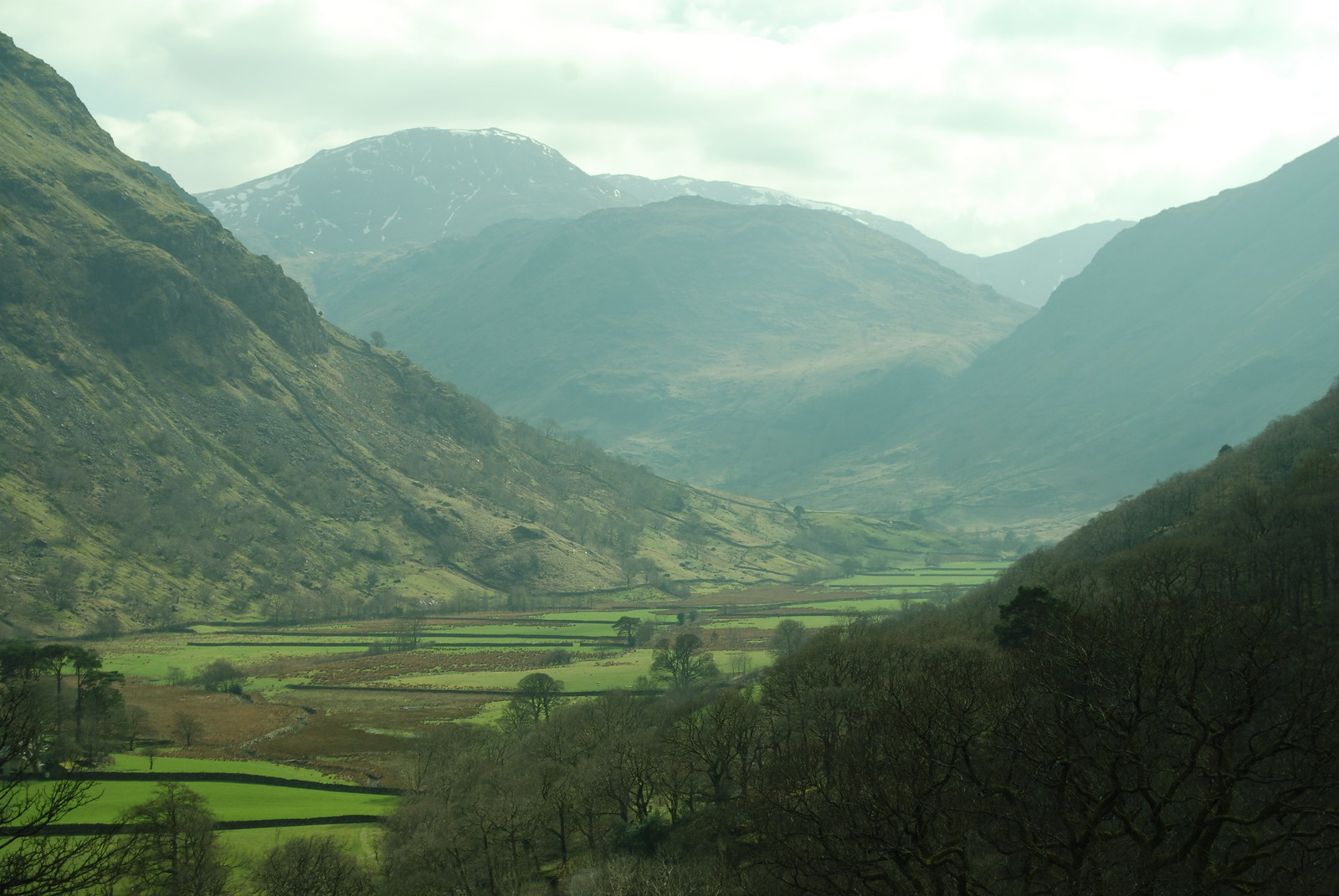
From above Seatoller, looking back towards Seathwaite:
Sunday: Rosthwaite to Old Dungeon Ghyll via High Raise
Wx: cloudy again, but none of the predicted rain. GPS trace: 5:05, 14 km, 700 m. Join the B'fast scrum at 7:30 and leave by 8:30: Wx is predicted to worsen during the day. A few wiggles to get over the river and on the right path, then up the valley a way.
Looking back the weather is better than ahead:
We push boldly on. This is the climb up to Lining crag.
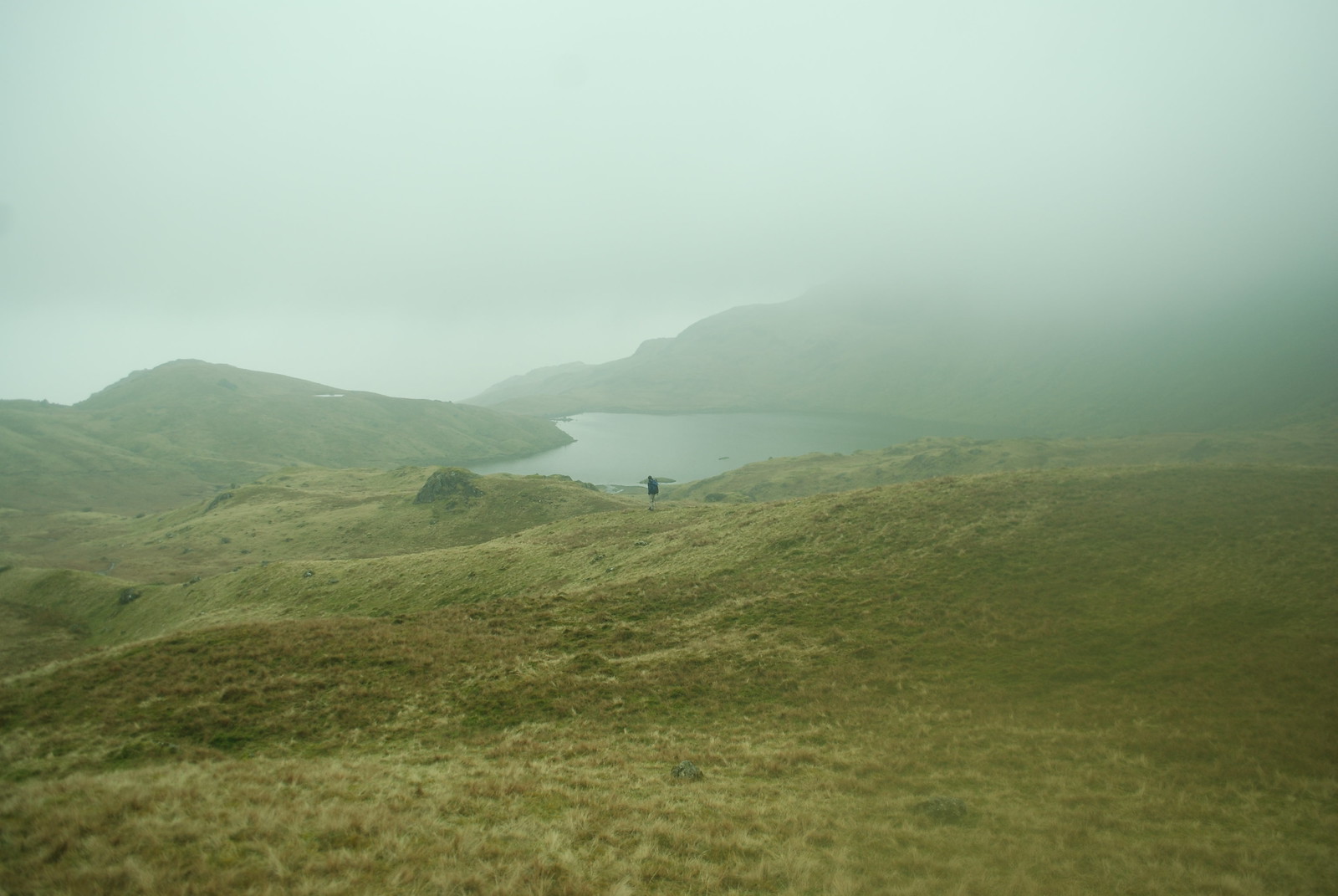
After that, things get a little... cloudy. The path over the tops is somewhat vague, though doubtless clear enough in fine weather. Sometimes long quasi-linear bogs turn out to be the path; naturally we avoid those. There's a line of long-decayed fence posts which are helpful, and a number of ambiguous cairns. We declare High Raise about 200 m early, but that is easily corrected. Much harder is the correct path from there. In retrospect I rush it; there was no hurry, and not only could we have taken time over it, but it would have been fun to try to get it exactly right. As it is we get it fairly right; we head down initially correctly, but trend to far E on the slopes, and don't really notice till we hit the lower edge of the cloud, and E gets out her phone, and we see Codale Tarn, which we weren't expecting. So we have to contour round and up W to get back on track, but the GPS says that was only ~100 m of error. Still, and interesting lesson, and the ground was spooky in tattered cloud: everything looked much bigger than it really was. Here, finally escaped from the cloud, is D striding down to Sickle tarn.
And so back to the ODG for a quick lunch, then off about 2, and back about 8.
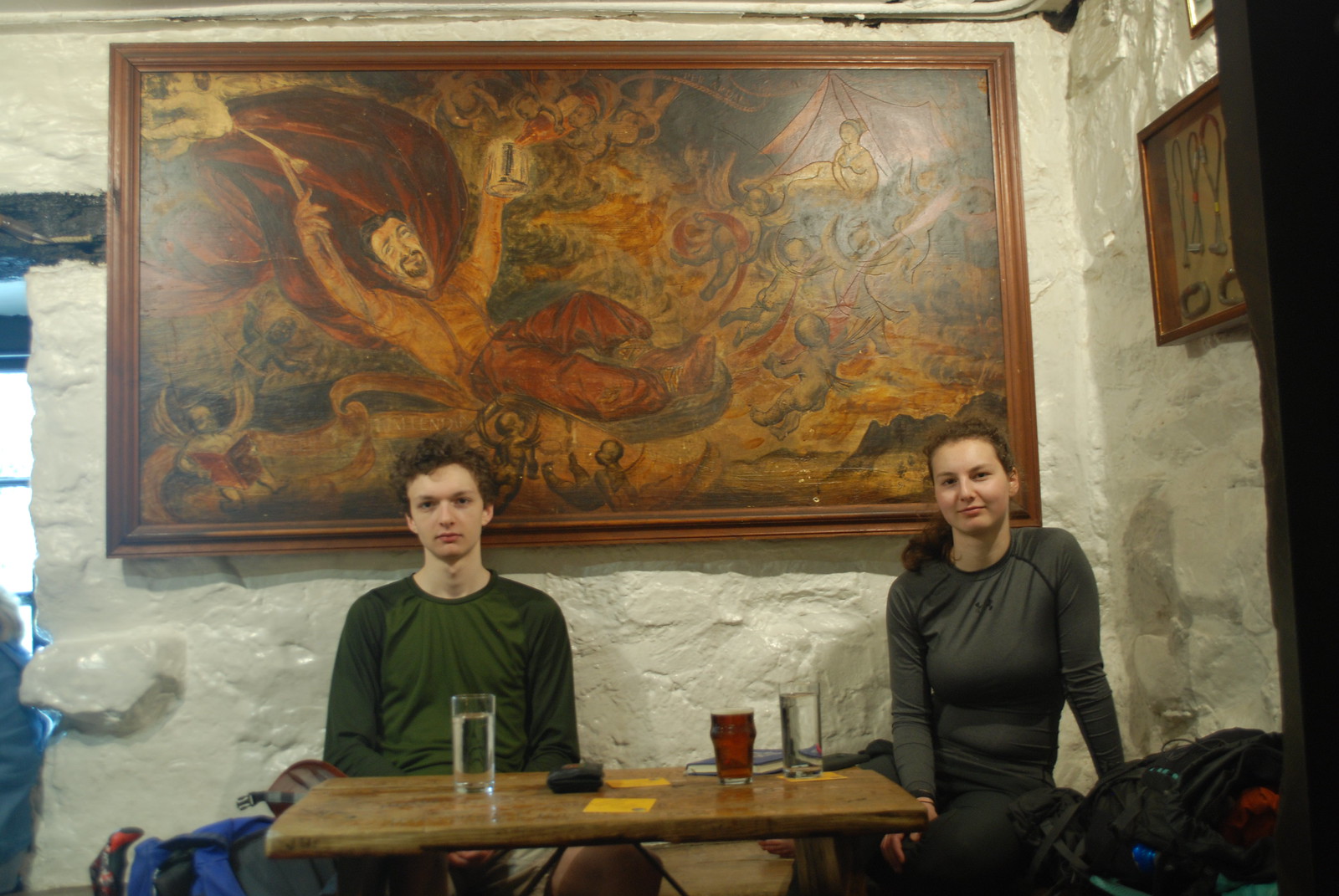
[The central figure of the climber reclines, a cherub pouring wine into the tankard in one hand while the other flourishes an ice axe; in the opposite corner a young lady waits invitingly at the open flap of a tent.]
No comments:
Post a Comment